Days 1140-1142,
03.04.2014-05.04.2014,
121 979 km since the beginning of the journey.
The Route: Laguna Chaxa - Laguna Leija - Talabre - San Pedro de Atacama (233 km).
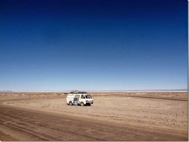
An overnight place in the middle of the crossroads and an extra spacious view in the morning.
On the whole the night was quiet and quite peaceful, except the earthquakes that have recently been quite an actual topic in Chile. Iquique is from here 400 kilometers away and stronger quakes are felt here as well, especially at night. On two occasions the bus was swaying , and later it was written in Internet (http://earthquake.usgs.gov/) that this night the two most powerful ones were 6.5 and 7.7.magnitude. In addition, there were several smaller aftershocks. But a person gets used to everything, including earthquakes, and in this area it is inevitable to get used to this kind of situation.
Because the alternative always exists – go to somewhere else. The Park was supposed to be opened at eight o'clock in the morning. But as at eight o'clock the temperature outside (and inside the bus as well) was only eight degrees - it was more convenient to get up an hour later, when the sun had warmed up the neighborhood ( and the sides of the bus).
There was no hurry at all. Los Flamencos National Reserve itself is much bigger – all together 740 square kilometers and is located in seven different places (http://en.wikipedia.org/wiki/Los_Flamencos_National_Reserve), Laguna Chaxa is located in Soncor section.
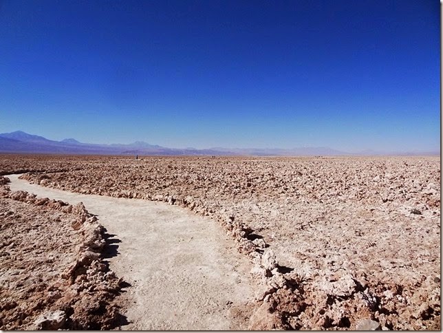
While buying tickets I was explained the regulations – remain on walking paths, it is advisable to take drinking water with, cover the head ( to put on a cap) and use sun cream.
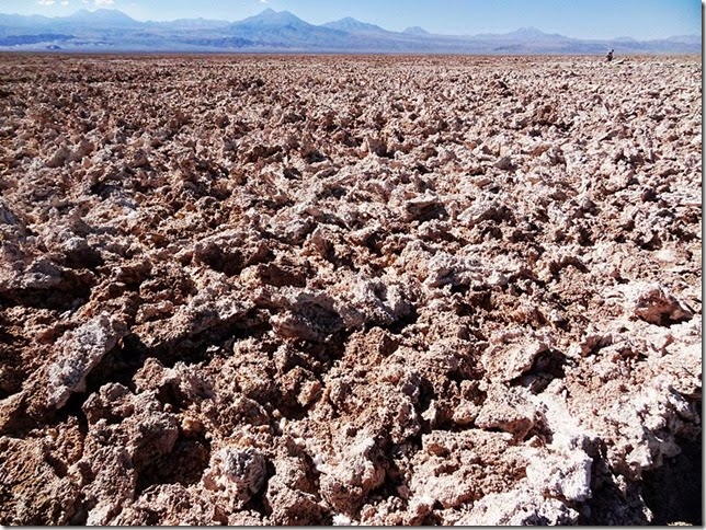
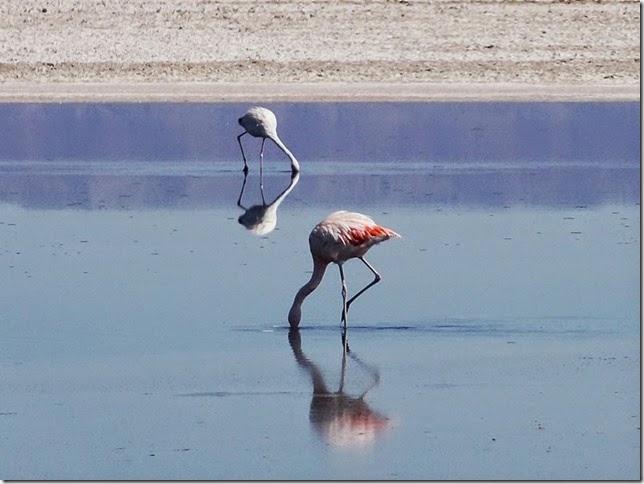
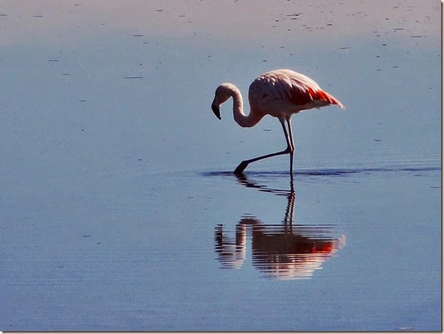
And flamingos they are. Not very many of them, maybe ten - but completely genuine flamingos. There should several kinds: Andean Flamingos, Chilean Flamingos and James Flamingos.
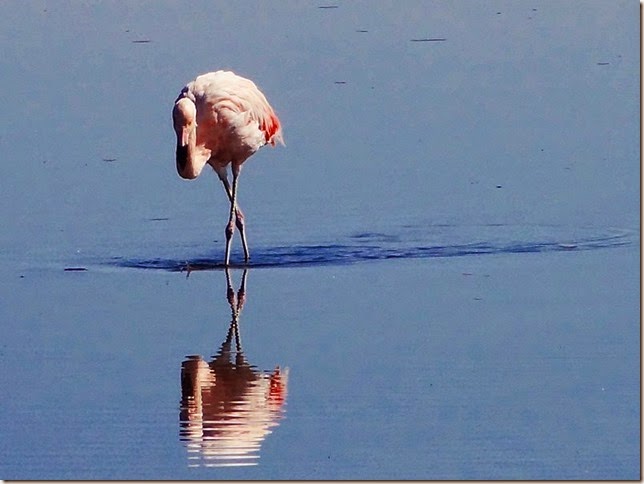
Those with more reddish tail tip should be Chilean Flamingos.

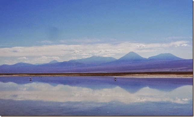
In a bigger picture.
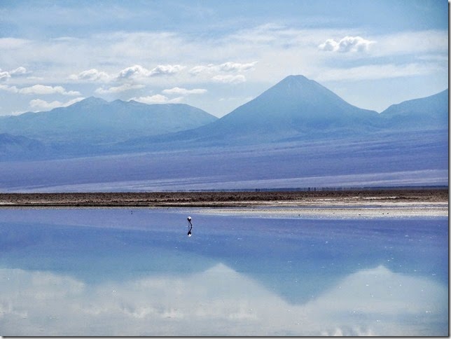
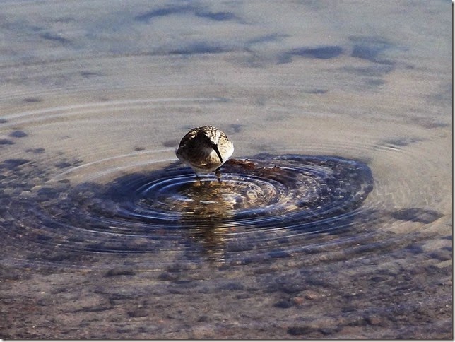
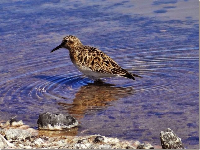
Playero de Baird – Baird’s Sandpiper.http://en.wikipedia.org/wiki/Baird's_Sandpiper.
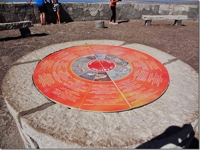
The identifying of the birds was with the help of the information boards.
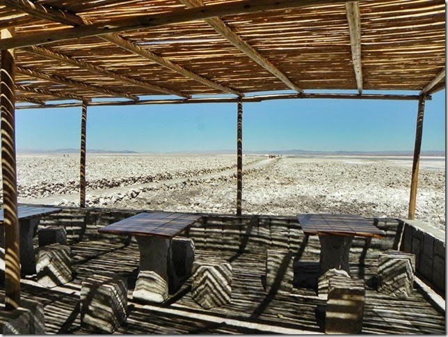
In conclusion it can said that Laguna Chaxa is quite a significant landmark of considerable infrastructure. Information stands outside and inside, a separate opportunity to watch a short film about the park and later at the entrance there is a place to sit down and have a rest.
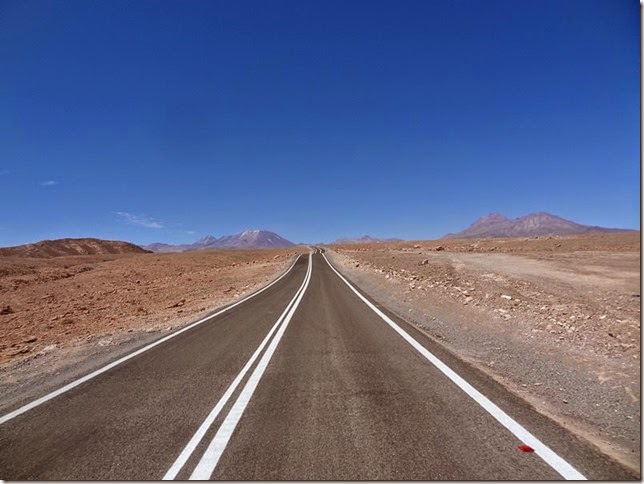
Before driving up to the mountains. An entirely new road took upwards, the first 14 km until Talabre the asphalt was recent.
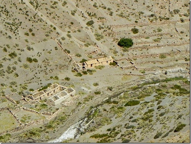
Old Talabre Ruins.
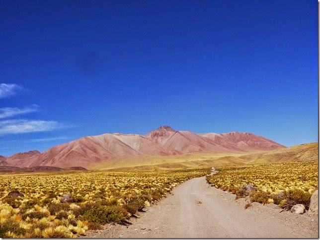
And further on - a dusty gravel road, which rose slowly upwards to the height of about 4000 meters.
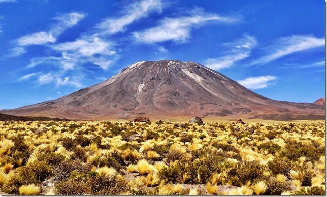
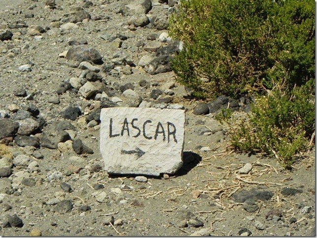
Lascar Volcano (5592 m).
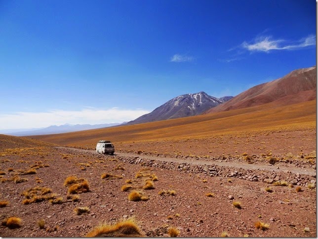
And the road was practically without any traffic - as during 6 hours only three vehicles were met. In a way quite understandable, because the road was to take to Laguna Leija and then further to Huaytiquina border station, but the border station was said to be closed for traffic.
And in addition, there were supposed to be mines in the region. It was even marked in GPS - "Peligro Zona Posiblemente Minada".
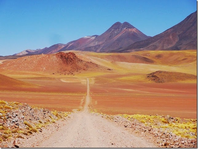
The road before Laguna Leija.
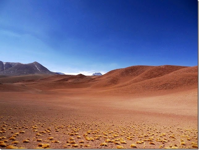
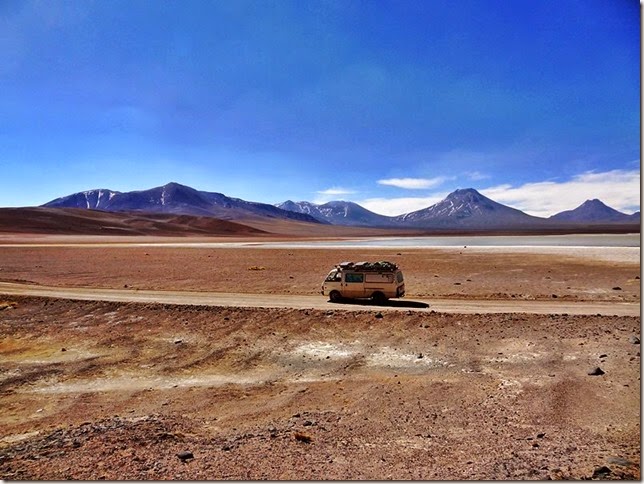
Further on is Laguna Leija and a few flamingos. It is time to make a stop and start the way back. Some maps described some kind of a road between Paso Huaytiquina and Paso Sico, but my inner feeling said that it was enough driving for that day.
That it was time to go somewhere in the height of 3000 meters and find an overnight place. In internet about the road of Laguna Leija it was written "After a steep climb on a very bad road, you reach the Laguna Lejia at 4190 m, once full of flamingos. Mysteriously, the colony declined rapidly immediately after the eruption of Volcán Lascar in 1993"
So nothing to do but turn around and start driving back - as one more shortcut to take downwards was supposed to begin right there. An alternative would have been to drive back by the same road over more than 50 km.
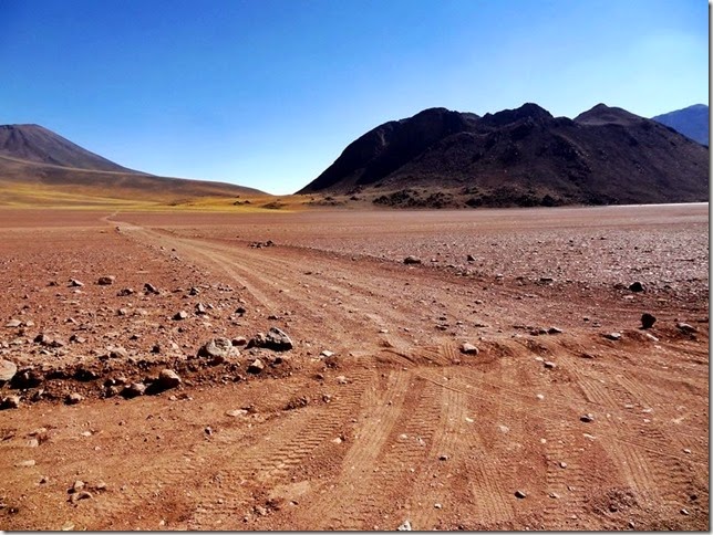
According to the available data this road was to take directly down the hill to Socaire settlement 23 kilometers away. Only on several maps there was not any road of that kind.
In reality, the road was totally there, and even relatively fresh wheel tracks were seen. That someone had been driving here within the last days. Or perhaps last weeks -as there's actually no rain and so the tracks can last for a long time.
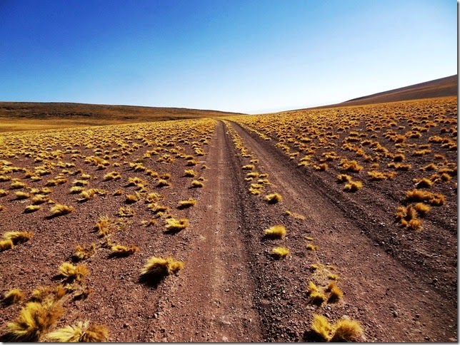
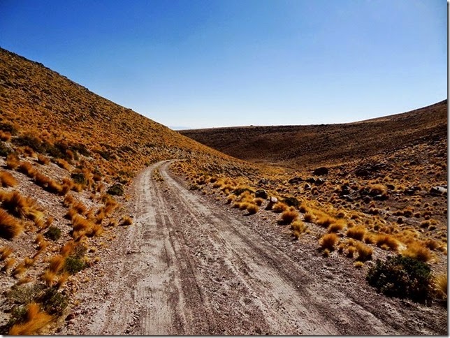
Further downward until ...
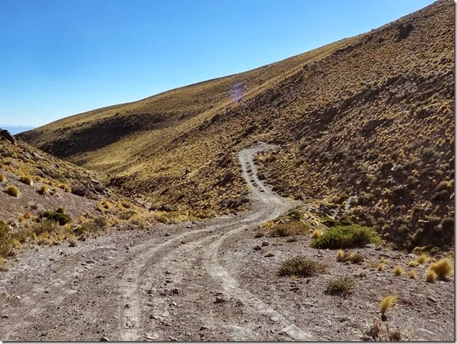
… until ahead there was this kind of a part of the road, which at first glance announced that – no up-driving here, as the ascent is too steep.
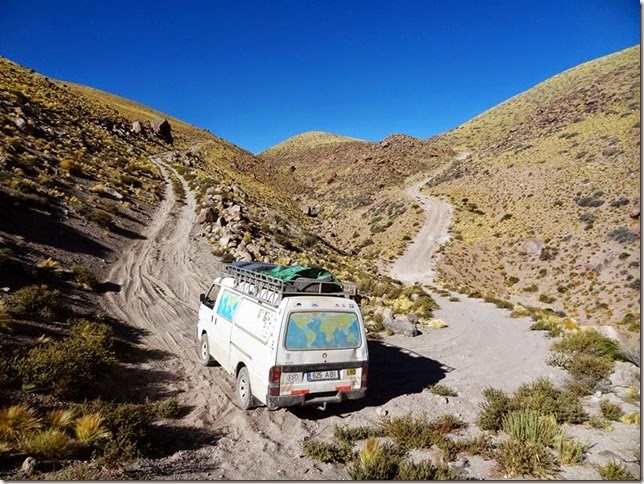
And so it was. Good I made a picture, but on the photo everything is somehow much flatter . It was to be taken into consideration that the most important issue was - that the place itself was of 3825 meters altitude, ie nearly 4,000 meters and there was not enough oxygen as well. It means – not enough for diesel engine.
There was still over 200 meters in almost a 15 ° elevation ahead. Nothing to think about much but to turn around and back along the same road until there was still daylight. Only on the way back having driven for three and a half kilometers, and mostly with the first gear, since road back took uphill, at the beginning of 4000 meters, and then 4100, 4150, and, in short, here in the altitude of 4150 m the same story happened – the oxygen ended, and the car didn`t move on even one meter.
Well, at first you think, now the night has to be spent here, in the height of 4,000 m, but at the moment it is not essential. This part of the height. First of all, you drive downwards to find one even ground for overnight. Then you go for an evening walk of a few kilometers down the road from which the bus did not go up. While climbing up there is time to think and calculate why could not get up over here.
In Peru – it was even in the altitude of 5000 m. Here elementary trigonometry is of some help. The length of the steepest part is of 265 meters, the height difference is 3873-3828 = 45 meters. As much as I remember the calculation of sinus was taught at school in class 9. Frankly, it was a pretty long time ago, but it is good that the majority of the time I attended the lessons and something stays in mind. The result of dividing gives the number - 0.169811. Which means that there is a rise of 16.98 degrees.
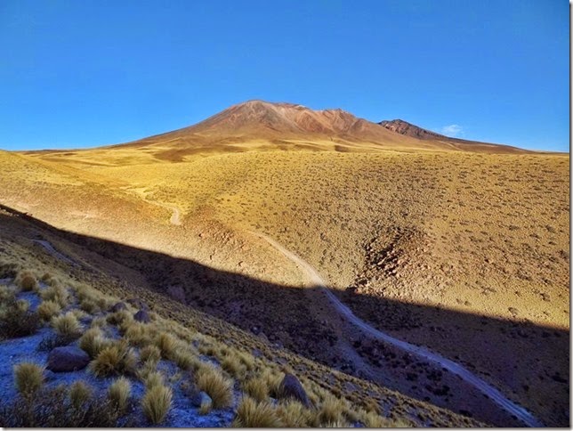
You can, of course, go up on foot. Take a deep breath and just take shorter steps. Evening walk is beneficial in any way, hills in the sunset and a curved mountain road.
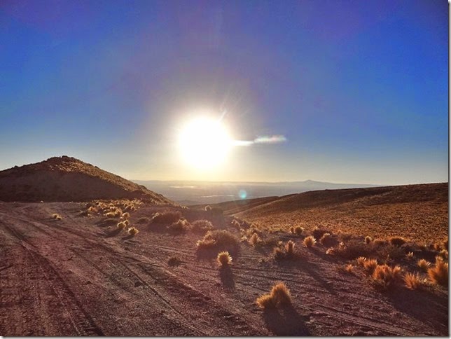
Far away ahead is Salar de Atacama and the setting sun.
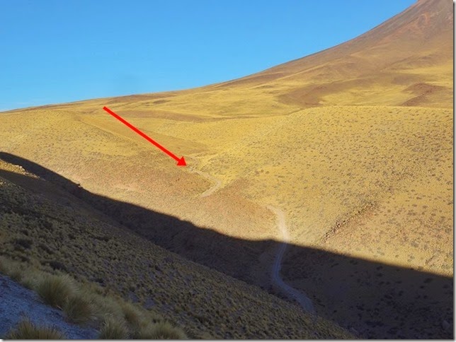
The red arrow shows another overnight place. At least in a beautiful place.
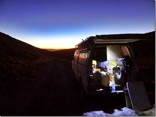
In the dark, of course, one can do nothing but to think about what to do in the morning, and in what order.
At first to find out if the adjusting of the high-pressure pump into thinner fuel mixture will help. Actually higher up there is less oxygen. The pump was regulated about a year ago. In the morning, it is clear that the regulation of the pump does not help much. Perhaps fifty meters further and then the capacity is still over. No sense to attempt any more.
Plan B is to go looking for another vehicle that would pull my car up the hill. So – the plan B1 is - to go back to Laguna Leija road, which is eight kilometers away, and where yesterday three moving vehicles were met. And then wait until someone comes to visit Laguna as there is evidently no other reason to drive along that road. (the red line on the map below). And the closest inhabited place Talabre is 27 km away (purple line on the map).
To illustrate – here is the map:
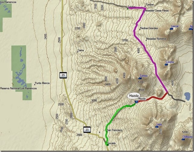
The plan B2 is to go along the planned road to Socaire, which is 15 kilometers away (green line).
It is also inhabited, but the main thing is that through this place a bigger road takes to Paso Sico and further on to Argentina. This alternative will be accepted.
Water and GPS find their place in the backpack and of course also the map of the region. So it is good to point out the location of the bus. Just in case, also a warmer jacket and a hat. Because it is cooler at night, and who knows how much time it will take. And then it's time to go. It is 11am.
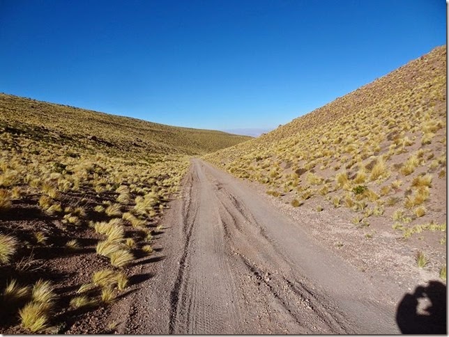
At first down the hill ...
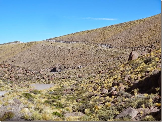
Then for some time along the side of the hill…Yesterday this part was climbed up already ...
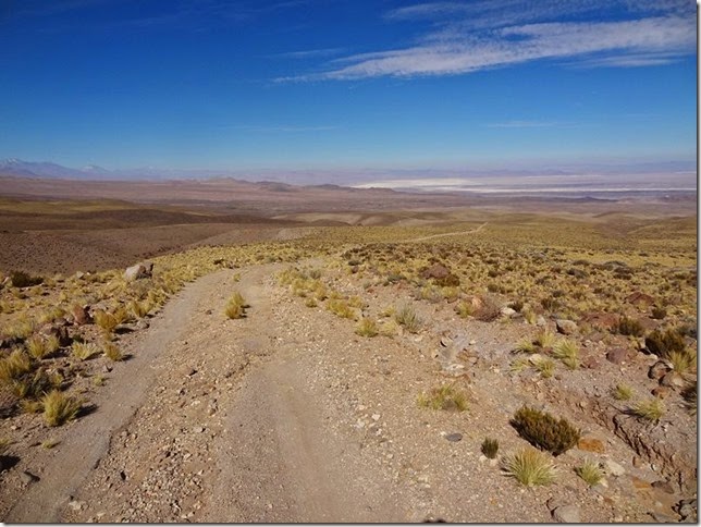
Having reached up you take a deep breath and move on. After all - Salar de Atacama is in sight and no particular possibility to get lost.
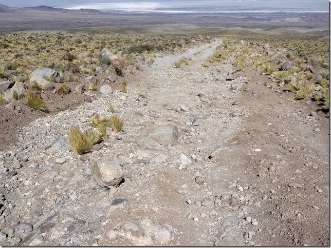
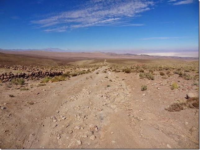
You walk, walk, walk. Kilometers remain behind. The weather, however, is entirely ok, and is getting warmer. Just now warm jacket seems completely pointless. You walk, walk, walk ...
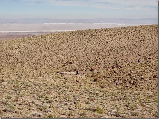
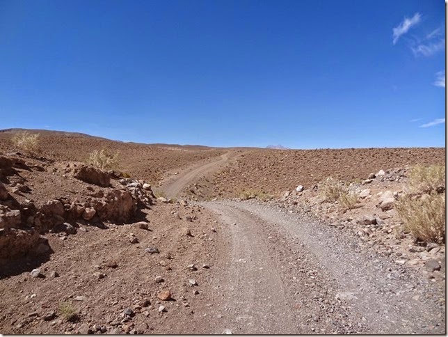
You walk, walk, walk.
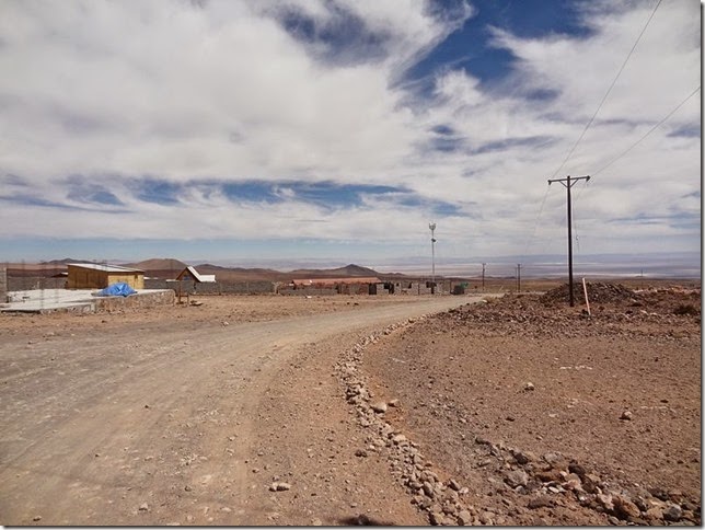
But finally Socaire comes in sight. It took 3 hours to cover 15 kilometers.
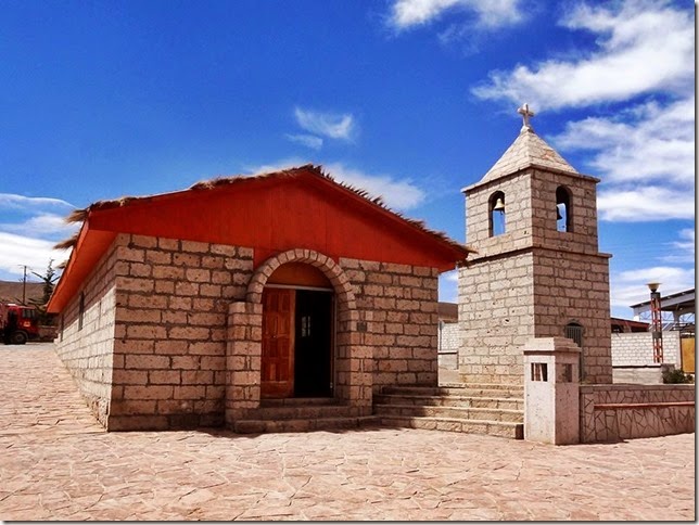
In the center of the town there is a small church.
Nearby is a company engaged in road construction, and in short, they are ready to come to help. I explain to them that I have the necessary ropes and all that is needed is a powerful car that can pull the bus up the hill. So I take a back seat in the white Landcruiser and uphill we drive.
While getting higher the car requires several pushing in sandy places, and the rear wheel on the ground will "hollow out". In such a case, it would be logical to use the brakes and four-wheel drive, but it turns out that this car does not have this kind of drive.
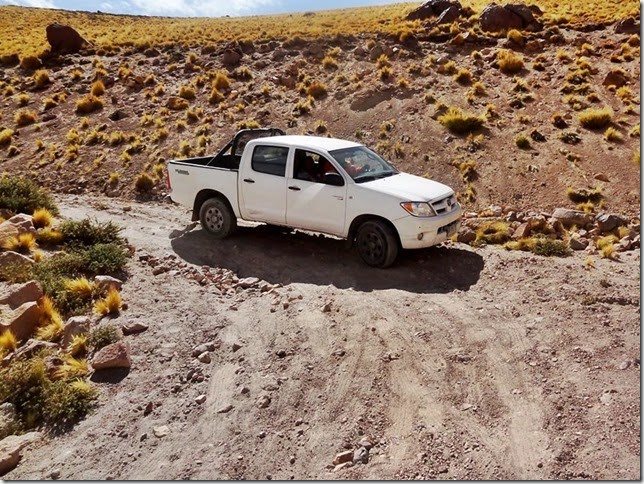
The highest place has been passed and one issue is clear – they also cannot return by that road as the tires are too worn out.
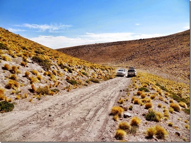
Finally, we reach the bus but nothing succeeds in pulling. Not even a meter.
The road is sandy, and the rear wheel of Toyota goes around in the sand and digs one more hole, and then another one. Without the rope the situation is not better.
For a moment it seems already that today there will be another opportunity to take one more 15-kilometer hike. The men try to call someone for help, but there is no coverage in such valleys.
So – nothing to do but push the bus. And again and again after every half meters. Pushing and swinging and then stones under the wheels. Next half meter – pushing and swinging and then the stones again under the wheels. And so on about a few hundred meters. Fortunately I had a shovel in the car.
And it was really very unique and new experience to push the car uphill in the height of 4000 meters. Just one of the men and me. Toyota Landcruiser – in the height of 4000 meters - the two of us pushing uphill - it is very unique and new experience (new skill), and will probably be long remembered.
Finally, the few hundred meters of sandy part of the road is left behind and the car can move on with its own power. We are heading to Laguna Leija road in order to drive back to a populated place somewhere and search for a more suitable vehicle.
In Toconau (another 55 km) the police tries to find a tug. But no success, as the tug of San Pedro de Atacama was said to be in Argentina just now. And will be back the next day. This is not a good solution. It is better to arrange as much as possible the same day.
So – to make the long story short – I ask assistance to find somebody with a winch car – and luckily an hour later I am already inside of a classical and stylish Toyota Landcruiser and we are driving back.
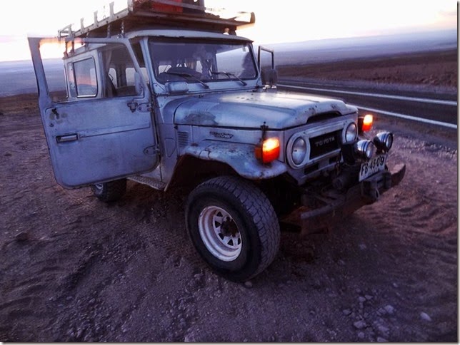
It is already about 9.30 p.m. when we reach the spot and with the help of the rope the Toyota pulls my Mazda free.
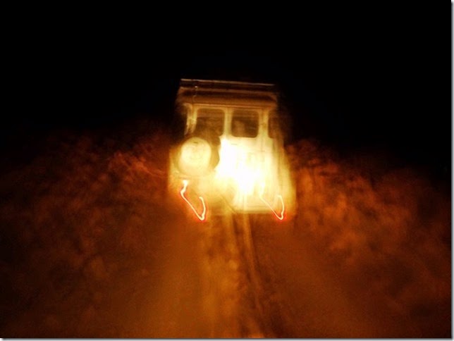
The situation has been resolved, and this time it was overwhelmingly positive.
The overnight place will be in the height of 3600 meters.
A variegated day is over
Continued.


No comments:
Post a Comment